In the realm of infrastructure inspection, the fusion of cutting-edge technology and innovative methodologies has ushered in a new era of efficiency and precision. Among the most revolutionary advancements in this field is the integration of 3D aerial photography and powerline inspection. These two components, when combined, offer unparalleled insights into the condition and integrity of critical infrastructure networks. In this article, we delve deep into the convergence of 3D aerial photography and powerline inspection, exploring how this synergy is reshaping the landscape of infrastructure management.
Understanding 3D Aerial Photography
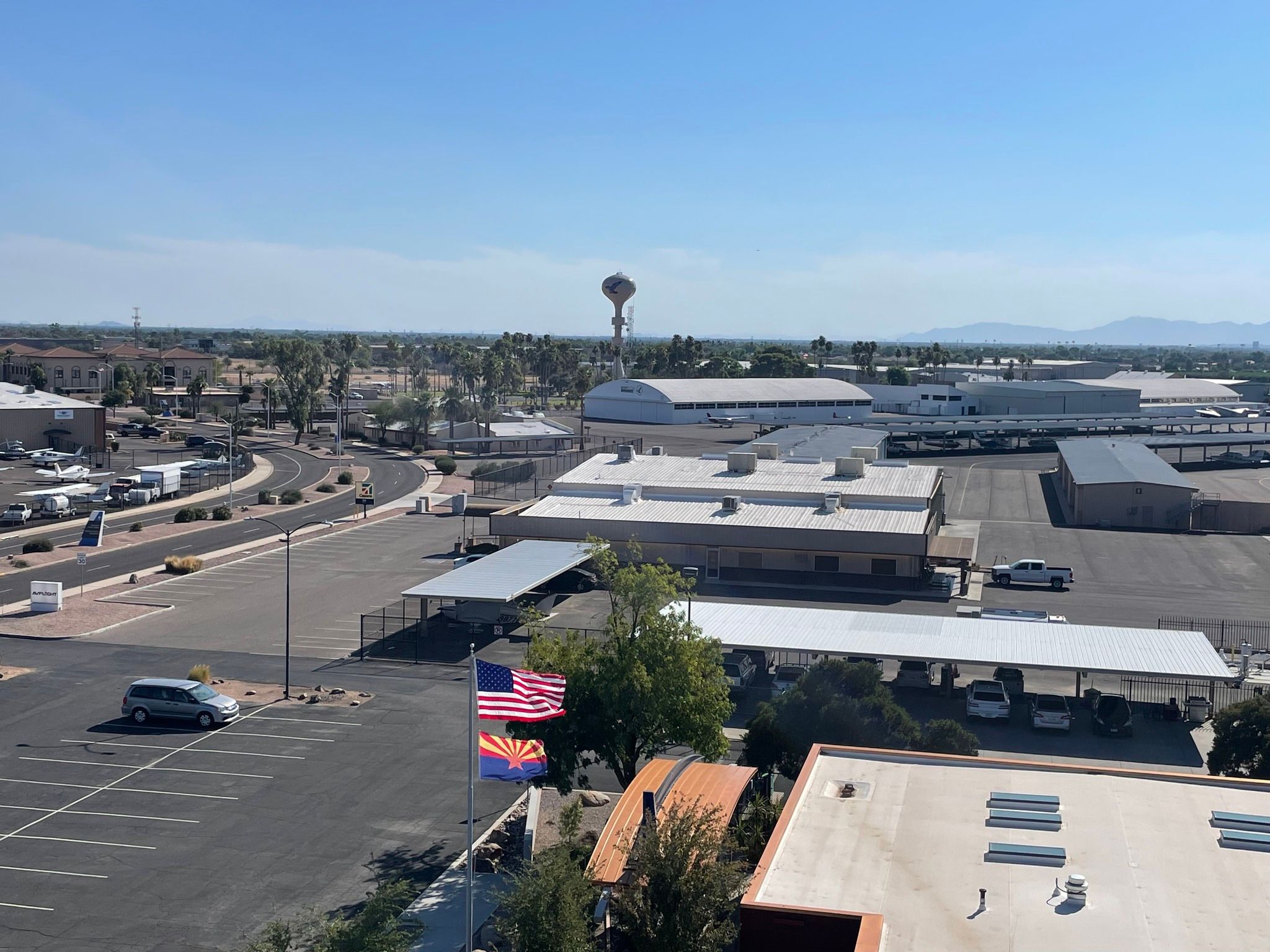
3D aerial photography is a groundbreaking technique that harnesses the power of aerial imagery to create three-dimensional models of terrain, structures, and objects. Using specialized drones equipped with advanced cameras and LiDAR sensors, 3D aerial photography captures a wealth of data from different angles and perspectives. This data is then processed using sophisticated software algorithms to generate detailed, high-resolution models with remarkable accuracy and fidelity. The resulting 3D models provide invaluable insights into the spatial layout and features of the area being surveyed, offering a comprehensive view from above.
The advantages of 3D aerial photography over traditional methods of imaging are manifold. Unlike ground-based surveys or manual inspections, which are often limited by accessibility and line-of-sight constraints, 3D aerial photography offers an unrestricted perspective from the air. This aerial viewpoint enables inspectors to capture detailed imagery of large-scale infrastructure networks, such as powerlines, with ease and efficiency. Additionally, 3D aerial photography provides a wealth of data that can be used for various applications, including asset management, planning, and analysis.
Introduction to Powerline Inspection
Powerline inspection is a critical aspect of infrastructure maintenance, ensuring the safe and reliable operation of electrical transmission and distribution networks. Traditionally, powerline inspection has relied on manual methods such as visual inspections conducted by personnel on foot or in vehicles. While these methods are effective to some extent, they are often time-consuming, labor-intensive, and prone to human error. Moreover, they may not provide the level of detail and accuracy required for comprehensive inspections.
Utility companies face numerous challenges when it comes to powerline inspection. One of the primary challenges is the vast geographical extent of powerline networks, which can span hundreds or even thousands of miles. Another challenge is the presence of vegetation along powerline corridors, which can obstruct visibility and pose safety hazards. Additionally, factors such as weather conditions, terrain complexity, and regulatory compliance requirements further complicate the inspection process.
Integration of 3D Aerial Photography in Powerline Inspection
The integration of 3D aerial photography in powerline inspection represents a paradigm shift in how utility companies manage their infrastructure assets. By deploying drones equipped with advanced imaging sensors, such as high-resolution cameras and LiDAR, utility companies can capture detailed aerial imagery of powerline corridors and infrastructure components. This imagery provides inspectors with valuable data for assessing the condition of powerlines, identifying potential hazards, and planning maintenance activities.
Applications of 3D Aerial Photography in Powerline Inspection
The applications of 3D aerial photography in powerline inspection are diverse and far-reaching. Utility companies can use this technology to conduct routine inspections of powerline corridors, identify areas of vegetation encroachment or equipment degradation, and assess the structural integrity of transmission towers and poles. Additionally, 3D aerial photography enables utilities to create digital twins of powerline networks, facilitating asset management, planning, and decision-making processes.
Technological Innovations in 3D Aerial Photography for Powerline Inspection
Advancements in drone technology, imaging sensors, and data analytics have driven significant innovations in 3D aerial photography for powerline inspection. Modern drones are equipped with state-of-the-art cameras capable of capturing high-resolution imagery and LiDAR sensors that can penetrate vegetation to reveal hidden infrastructure features. Furthermore, advances in artificial intelligence and machine learning algorithms enable automated analysis of aerial imagery, streamlining the inspection process and improving accuracy.
Several utility companies have successfully adopted 3D aerial photography for powerline inspection, achieving tangible benefits in terms of safety, efficiency, and cost-effectiveness. For example, Company X deployed drones equipped with LiDAR sensors to conduct aerial surveys of its powerline networks, resulting in faster inspections and more accurate assessments of infrastructure condition. Similarly, Company Y utilized 3D aerial photography to identify vegetation encroachment risks along its transmission corridors, enabling proactive vegetation management and reducing the risk of outages.
Future Trends and Considerations
Looking ahead, the future of 3D aerial photography in powerline inspection is promising. Continued advancements in drone technology, sensor capabilities, and data analytics are expected to further enhance the accuracy and efficiency of inspection processes. Moreover, the integration of emerging technologies such as augmented reality and remote sensing satellites holds the potential to revolutionize how utility companies monitor and manage their powerline networks.
The convergence of 3D aerial photography and powerline inspection represents a transformative approach to infrastructure management. By leveraging the capabilities of drones and advanced imaging technologies, utility companies can gain unprecedented insights into the condition of their powerline networks, enabling proactive maintenance and ensuring the reliability of electrical supply. As technology continues to evolve, the synergy between 3D aerial photography and powerline inspection will play a pivotal role in shaping the future of infrastructure management and ensuring the resilience of critical infrastructure assets.
FAQs about 3D Aerial Photography and Powerline Inspection
1. What is 3D aerial photography, and how does it differ from traditional aerial imaging?
- 3D aerial photography utilizes specialized drones equipped with advanced cameras and sensors to capture imagery from multiple angles, allowing for the creation of detailed three-dimensional models of terrain and infrastructure. Traditional aerial imaging typically involves capturing two-dimensional photographs from a single perspective.
2. How does 3D aerial photography benefit powerline inspection?
- 3D aerial photography provides utility companies with a comprehensive view of powerline corridors and infrastructure components from above. This aerial perspective enables inspectors to identify potential issues such as vegetation encroachment, equipment degradation, and structural damage with greater accuracy and efficiency.
3. What are the main challenges in powerline inspection, and how does 3D aerial photography address them?
- Challenges in powerline inspection include the vast geographical extent of powerline networks, the presence of vegetation along corridors, and the need for accurate and timely assessments. 3D aerial photography overcomes these challenges by providing inspectors with detailed aerial imagery that can be used to identify potential hazards and plan maintenance activities more effectively.
4. How are drones equipped for 3D aerial photography used in powerline inspection?
- Drones equipped with high-resolution cameras and LiDAR sensors are deployed to capture detailed aerial imagery of powerline corridors and infrastructure components. This imagery is then processed using specialized software to generate three-dimensional models, providing valuable insights for assessing the condition of powerlines and identifying potential risks.
5. What are some real-world examples of utility companies using 3D aerial photography for powerline inspection?
- Utility companies around the world have adopted 3D aerial photography for powerline inspection, achieving significant improvements in safety, efficiency, and cost-effectiveness. Examples include the deployment of drones equipped with LiDAR sensors to conduct aerial surveys of powerline networks and the use of 3D modeling software to create digital twins of infrastructure assets.


With drone photography, get a detailed picture of a landscape, or property with details that you cannot discern from ground level.
That being said, you might want to hire a professional Aerial Photography agency in Destin to get the right kind of help.
Here’s how:On protecting the natureIf you are involved in a project that involves environmental aspects, then drone photography can help in different ways.
The inspection drones can come handy in different ways, from damage assessment, utilities, agriculture inspections, or even hazmat.
You can also request for a live broadcast of the drone images to your corporate office directly.A collection of quality pictures would help to size the projects correctly.
Thus, they can assist in accessing inventory, suggest ways to involve minimal risks, and ensure that the environmental regulations of any given place are aptly met.Moreover, if you involved in meteorological projects, then aerial photography can also help you to keep a record of seasonal changes, thus making comparisons easier.The Architects’ choiceIf your architectural firm is planning a new building project, then aerial photography can save you both time and money.

Aerial photography is a form of photography where the pictures are actually taken from higher altitudes.
Enjoy an Aerial Photoshoot in Sebastopol with Francois Boulaire Photography.
Connect with us for the best aerial photography in Sebastopol.
Contact us at (305)496-3865 to get high-quality photos.

Global Unmanned Aerial Vehicle (UAV) Market Information By Type (Combat UAV, Small UAV, Strategic UAV, Tactical UAV, And Others) By Application (Military, Commercial, Agriculture, And Others) By Platform (Fixed-Wing UAVS, Rotary-Wing UAVS, And Others), And By Region – Forecast To 2023Market IntroductionUnmanned Aerial Vehicle (UAV), commonly called drone, is a type of an aircraft that does not have any passengers or pilot onboard.
UAV forms an integral part of the Unmanned Aerial System (UAS) which encompasses ground-based controller, and the system that establishes communications between the ground-based controller and UAV, as well.Get Sample Report @ https://www.marketresearchfuture.com/sample_request/1131 Market Driving FactorsThe cost-effectiveness of UAVs to acquire and operate in comparison to manned aircraft and helicopters, for various military and commercial applications, is the key factor driving the global UAV market.
Moreover, Unencumbered by combustion, the electric-powered UAVs produce less sound, and hence are found to be more suitable for spy missions.
Furthermore, global UAV spending and demand for small UAVs have increased, which drive the market growth.However, factors such as limited flight range and low range of the UAVs (especially for the small electric-powered ones) are a hindering the market.
Currently, the U.S. leads the global market.
However, the demand in the emerging markets is rising, mainly in the Middle East and Asia.As a result, the global UAV market is expected to grow at a CAGR of more than 10% during the forecast period.


Aerial lifts inspections can help you identify and repair areas of concern before they become a huge problem.
Here are the top 3 benefits of adopting professional aerial lifts inspection services.
Read the article for more information.